Sri Lanka adopted the metric system in the 1970s, yet (with the exception of square kilometres) land
is usually measured the imperial way of square feet, perches, roods and acres instead of the metric
way of of square metres and hectares. In this article, I will say why I think Sri Lanka should use
metric units for land measurements giving its benefits. I will also give information on the sizes of
square metres & hectares and list the metric land sizes of famous landmarks in Sri Lanka.
Interrelatedness of Different Units
I’ll begin with the way the metric measurements relate to each other. The metric system uses units of
10, so the different metric units fit well together. There are 10,000 square metres in a hectare, 100
hectares in a square kilometre and a million square metres in a square kilometre. I’ll now show the
the same land size in different metric units. Let’s say there’s a land area equaling 68,000 square
metres. That land in hectares would be equal to 6.8 hectares. This is instantly converting from one
metric unit to another from just looking at it. It gets even better. An area of 365 hectares would equal
3.65 square kilometres or 3.65 million square metres.
The imperial measurements don’t have this nice blend of unity as there are 43,560 square feet in an
acre, 640 acres in a square mile and 27 million 878,400 square feet in a square mile. I will use
figures like I used for metric units to show the disconnect between imperial units unlike their metric
counterparts. A land area of 680,000 square feet (63,174.07 square metres) would equal 15.61
acres (6.31 hectares). An area of 950 acres (384.45 hectares) would equal 1.48 square miles (3.84
square kilometres) or 41 million 382,000 square feet (3.84 million square metres). Here’s an image I
created showing how the metric land measurements relate to each other. Feel free to use this
image.
Official Land Units
The official units for measuring land in Sri Lanka smaller than square kilometres aren’t the square
metric conversion failed to educate the public on metric land sizes and metricate the real estate
sector. Thus, the real estate industry and media still use imperial units for land resulting in the public
thinking in these old units.
Imperial Land Units Bring Inconsistency
There is the issue of inconsistency resulting from referring to land measurements the imperial way.
We might think of a distance as 50 metres ahead, the building as 200 metres tall, but think of built-up
area in square feet. An example of this inconsistency in property listings is referring to a
house/apartment size in square feet and the distance to a road in metres. In reverse, we may think
of very large lands in square kilometres (such as the size of Colombo), yet think of lands smaller than
that as well as those in the square kilometre ranges in acres. Acres don’t neatly fit into square
kilometres as there are 247.1 acres in a square kilometre.
Opportunity for More Precise Land Measurements
Sri Lankan land sizes in square feet usually end in the neat number of 0, so may not be accurately
reflecting the size with a lot of rounding off. While the same practice can be done with square
metres, surveying in metric gives the opportunity to give more precise measurements with land sizes
rounded off to the nearest square metre. With this approach, a land size of 266.36 square metres
would be listed as 266 square metres and a land size of 457.73 square metres would be listed as
458 square metres.
Complexities of the Acre-Rood-Perch System
Regarding the perch unit, it’s actually a length measurement, with what we refer to a perch being
technically a square perch (25.29 square metres). The way it works is there’s a rod, pole or perch
that’s 5½ yards (5.03 metres) long. 40 perches equal a rood (1011.71 square metres) and 4 roods
equal an acre (4046.86 square metres). The rod (another name for the length perch) could get
confused with the rood. Also, someone surveying land in perches could get confused with the perch
for length and the perch for area. There are some instances of land sold in more than in one unit,
with it being sold in x roods and y perches or x acres, y roods and z perches. Having more than one
unit results in the consumer having to visualise the land in each unit adding unnecessary effort which
is much simpler in metric as it lists the land size in only one unit.
Simplicity of Calculation
Most Sri Lankan house plans are in feet and inches. If you’re using square feet and you’re
calculating the amount of square feet in a room that has feet and inches (as opposed to just feet) on
one or both sides, it gets difficult to calculate as the amount of inches in a foot (12) isn’t decimal. If
you’re measuring square metres in a room that has one or both sides not being an exact metre, say
2.8 by 3.6 metres, you just multiply the two together which would equal 10.08 square metres or 10 square metres to round it off.
Synergy with the Construction Industry
Regarding house plans in feet and inches, I suspect that they are conversions from builders’ plans in
millimetres. Converting room dimensions from millimetres to feet and inches is a difficult exercise
that changes dimensions from a logical simple set of measurements into an uneven complicated set
of measurements. I think they should be converted to metres instead, which can be easily done by
just dividing the millimetre values by 1000. Doing so saves time and effort in converting figures for
the real estate professional or builder. Having the real estate industry using metric can prevent
difficulties coming up with the construction industry using metric and the real estate industry using imperial.
Fixing the Land Measurement Muddle
A land measurement muddle exists in Sri Lanka. An article or piece of text might have both square
feet and square metres, acres and hectares or kilograms per acre and kilograms per hectare in the
same document, paragraph or even sentence. Going back and forth between two units can result in
someone confusing a figure from one unit to the next. This sometimes results in someone writing a
metric value as an imperial one e.g. writing 30 hectares as 30 acres. Another cause of this is our
reluctance to think of land in metric. If someone mistakenly refers to a hectares value as an acres
value it gives the impression it's 2.47 times smaller, an acres value as a hectares value it gives the
impression it’s 2.47 times larger, a square feet value in square metres which gives the impression it’s
10.76 times larger, a square metres value in square feet which gives the impression it’s 10.76 times
smaller. Also, this land measurement muddle sometimes results in metric and imperial units of
different sizes put together, e.g. square feet and hectares.
One Unit for Land & Living Area Instead of Two
Most Sri Lankan house property listings use perches for the land area and square feet for the living area. Having two different units for property does not show the difference between the land and living area clearly, with the easiest way to tell the difference being through conversions. This combination of units sometimes even hides errors such as the house size being listed as larger than the land size. It’s worth noting that these units are both imperial, yet the amount of square feet doesn’t neatly align with a perch, as there are 272.25 square feet in a perch. This shows a weakness of the imperial system, which puts a collection of many different units together as a system e.g. square feet doesn’t appear to be part of the acre-rood-perch system, but is dictated to be grouped together with perches as they are both imperial. When using square metres, it would be the same unit for both land area and living area which would easily reflect the difference between the two.
Tips for Visualising Metric Land Sizes
As we have been using our knowledge of kilometres to visualise square kilometres, we are also capable of using our knowledge of kilometres and metres to visualise square metres and hectares especially due to Sri Lankan road signs using metres and kilometres. Using square metres would match with seeing metres on road signs. A way we can think in square metres is to apply our knowledge of metres to building dimensions by thinking of the lengths of the wall (room dimensions) in metres instead of feet as well as picturing metres squared in the same way we picture kilometres squared.
A way to understand hectares is to think of square kilometres and think smaller. As 100 hectares is a
square kilometre, when it comes to land smaller than a 100 hectares, such as 65 hectares we can
think of that land as 65% of a square kilometre. For larger land we can divide it by 100 and then get
the value in square kilometres. The Sri Lankan agricultural industry is an industry that often uses
hectares, with many Sri Lankan tea plantations listing their land sizes in hectares. If you ever visit a
tea plantation in Sri Lanka that uses hectares, that can help you visualise hectares. Also, the total
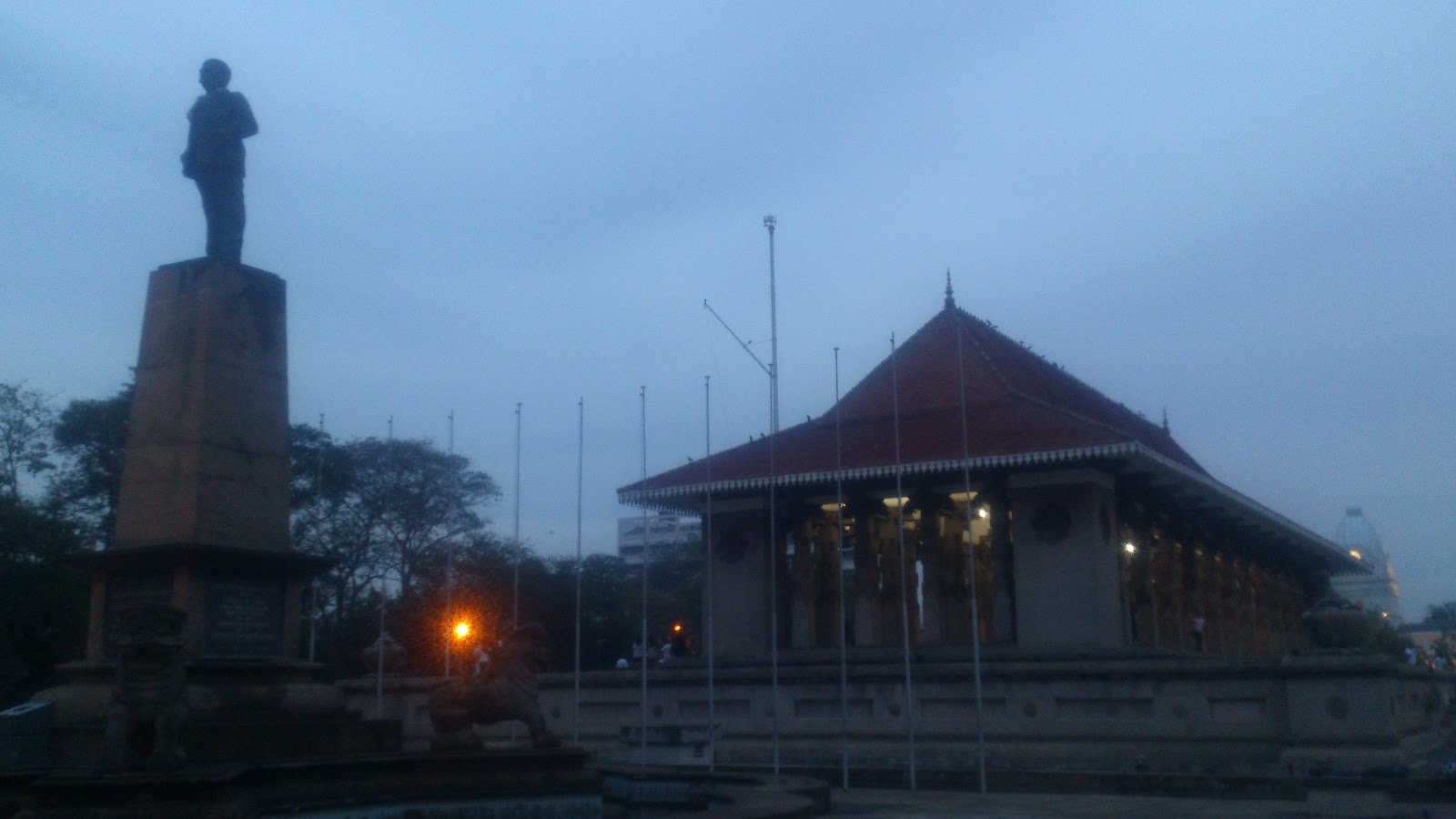
land size of Independence Square is almost 1 hectare, so visiting Independence Square should give
you an idea on the size of a hectare. A hectare is an area of land covering 100 metres x 100
metres, so thinking of an area of land with 100 metres on both sides is another way to visualise
hectares.
List of Sri Lankan Landmarks in Metric
Here is a list of Sri Lankan landmarks in metric sizes. The purpose of this list is to help Sri Lankans
understand and visualise metric land measurements and to positively affirm Sri Lanka’s status as a
metric country.
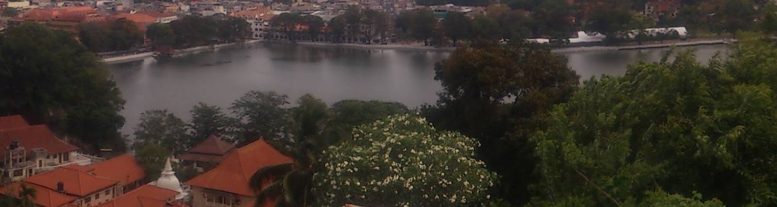 Kandy Lake, comprising an area of 19.01 hectares
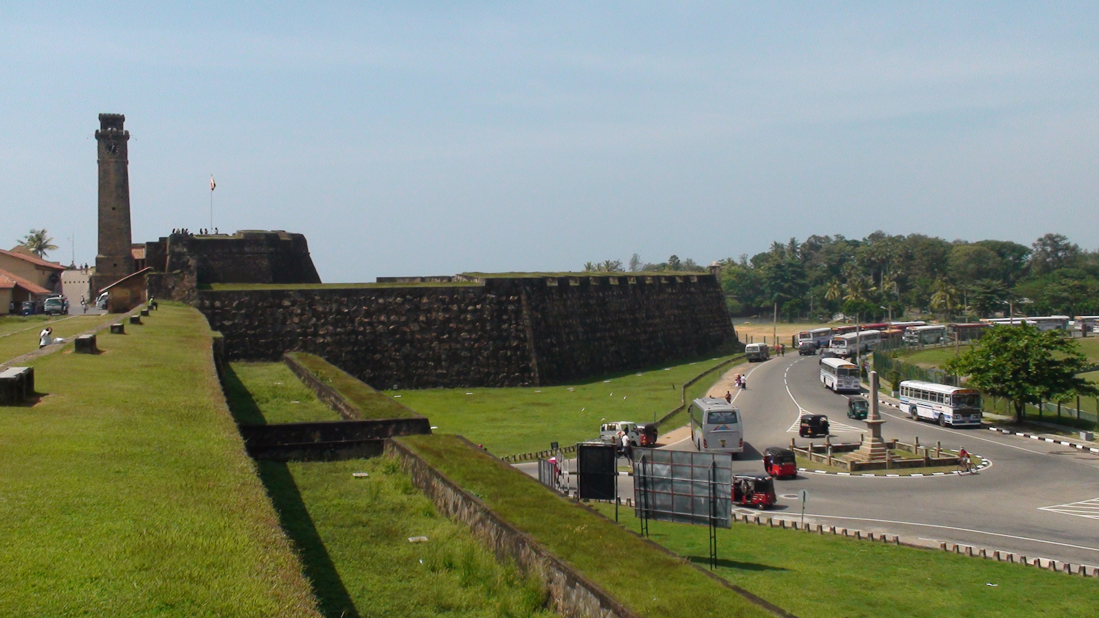
Galle Fort, comprising an area of 52 hectares
Landmark Independence Square is about 1 hectare in size
What You Can Do
These are some things you can do if you want to see Sri Lanka using metric land measurements:
- Survey your house/land/business in metric if you don’t already know it, and tell people its size in metric when talking of its size.
- Request a real estate provider (or anyone you're interested in buying land from) to sell land in metric telling them the benefits of it and point out that we’re a metric country.
- Sell, rent or lease your property/business in metric units.
- If you’re in real estate, have a planned conversion program of one or two years to convert your business to selling land in metric units where you educate your customers on the sizes of square metres and hectares.
- Write an article calling for metric land measurements to be used in Sri Lanka.
- If you’re a school teacher, teach your students to think in square metres and hectares.
- Promote the use of metric land measurements on social media.
- Start a Facebook group calling for metric land measurements to be used in Sri Lanka.
Conclusion
The reason imperial units for land measurement got into our system is because we are a former
British colony who inherited the imperial system from the British. The metric system is something we
adopted ourselves unlike the imperial system that we got given to us by the British. Using metric
units for land measurement is easier to use than their imperial counterparts and it reflects our
independence thus it is true to our status as a metric country of 65,610 square kilometres.