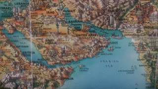
Dubai, a city in the United Arab Emirates (UAE) is a part of the world I’ve never been to, but find interesting. I hope to go there one day. In this post I’m embedding areas from Google Street View of Dubai. I’ll give a description above each embedded view. The user can explore these embedded views in the blog post as well as make the embed full screen via the icon on the right hand side or open it in a larger sized new window by clicking the “View on Google Maps” button. If any of the embedded areas do not load in this blog post, you’ll be able to see them through the “View on Google Maps” button.
Here’s an area by the Dubai Mall. It has short palm trees, a wide calm highway and buildings.
Here’s a nice combination of green grass and buildings in Burj Park.
Fountains, Palm Trees and Buildings.
A nice set of buildings.
A road in Dubai.
A view from the Al Garhoud Bridge.
Festival Boulevard.
Buildings and Palm Trees.
The Emirates Towers.
Buildings, Palm Trees, a Lake and Parklands.
Inside Dubai International Airport.
First Al Khail Street.
Looking up at the buildings.
Buildings on a sunny day.
A view from the bridge on Al A’mal Street
The edge of Creek Park.
Buildings, Cars and Green Scenery.
Buildings, an Overpass, Palm Trees, a Lake and Fountains.
On the D73 Road.
Palm tree paintings.
Inside Dubai Creek Golf.
I hope you enjoyed this post. Feel free to comment. I’m interested in hearing from those who live in Dubai, have lived in Dubai or are a native Dubaian.
